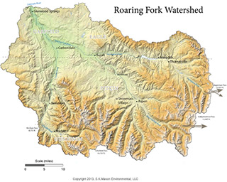
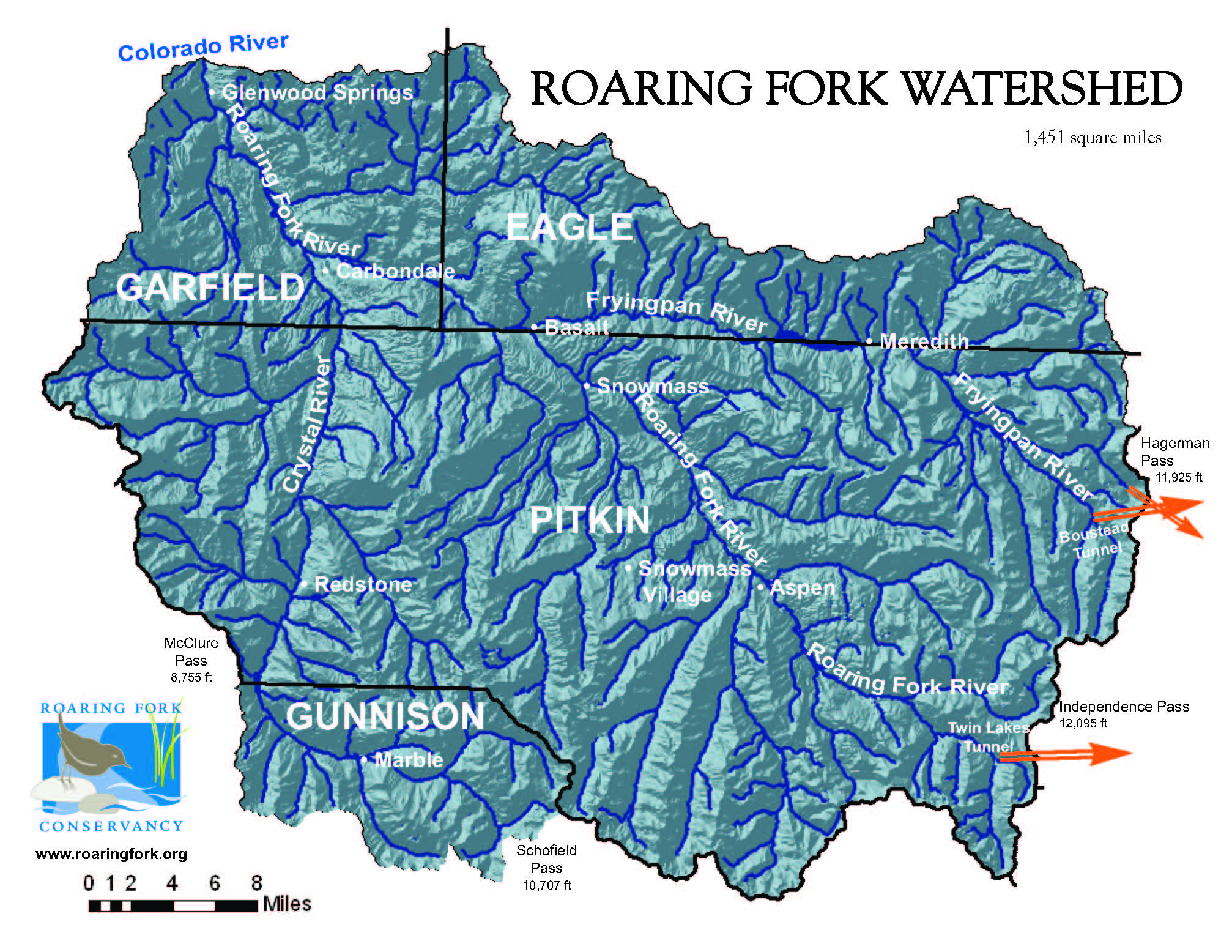
The Roaring Fork Watershed is located in central Colorado on the west side of the Continental Divide. The watershed includes the Sawatch, Collegiate, and Elk Ranges and seven 14,000 foot peaks. Snow melting in these high peaks collects and enters one of three main rivers - Roaring Fork, Fryingpan, and Crystal - and drains to the Colorado River in Glenwood Springs which is at an elevation of 5,916 feet.
Encompassing an area of 1,451 square miles, the Roaring Fork Watershed is approximately the size of Rhode Island. As part of the larger Colorado River Basin, which supplies water to nearly 40 million people in the arid southwest, the Roaring Fork Watershed contributes about 856,000 acre feet or 279 billion gallons of water each year to the Colorado River.
WHAT IS A WATERSHED?
A watershed is an area of land where all the water flows to one place.
Are you aware that not all water in Colorado moves downstream?
Learn more about TRANSMOUNTAIN DIVERSIONS.