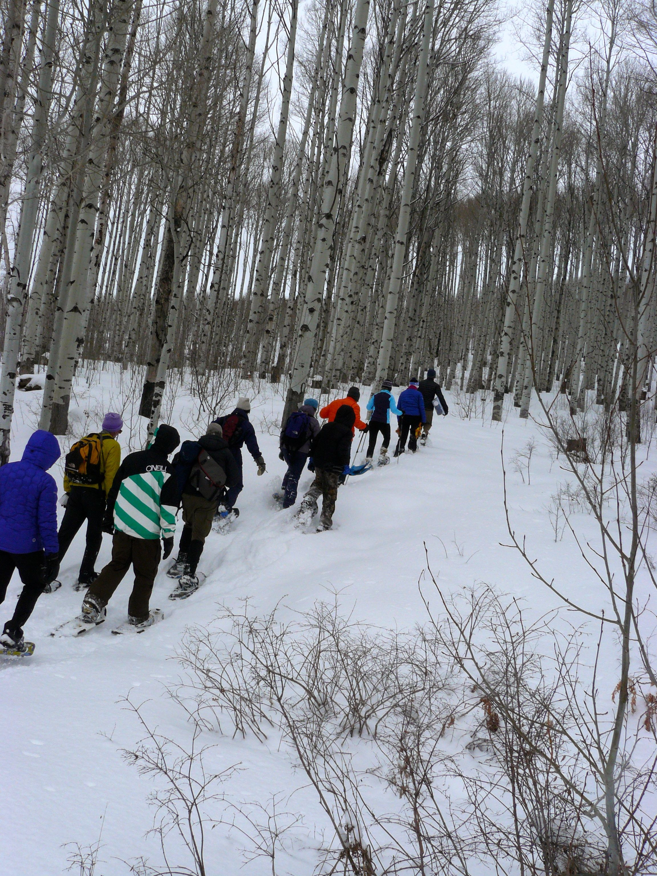
Winter residents and visitors of the Roaring Fork Valley are known to keep a close watch on the weather forecasts, but what happens to the snow once it hits the ground? In geographic regions where snow remains for an extended period of time, such as high altitudes, each celebrated snowfall becomes a layer in that year’s snowpack. Looking at the different layers of snow tells the story of each winter's snow events. Snow scientists, like those that work at the Colorado Avalanche Information Center, spend the winter studying and interpreting the snowpack layers. Understanding these different layers and what they mean is critical to safe backcountry recreation and it also gives insights to the upcoming spring runoff. The Natural Resources Conservation Service (NRCS) installs and operates an automated system of instruments at SNOTEL (snow telemetry) sites which collect snowpack and other climate data. A map of SNOTEL sites in the Roaring Fork watershed can be found here.
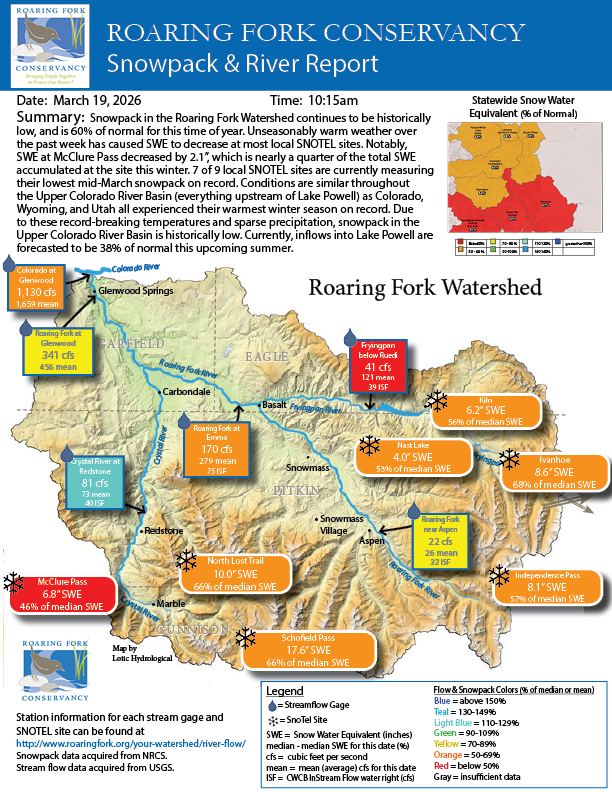
Snowpack functions as an important tool to understanding water supply. A measurement associated with snowpack is snow-water equivalent, or SWE. Measuring SWE shows the liquid water equivalent of snowpack, or how much water is present if the solid form (snow) is melted to liquid, and is expressed in terms of depth (inches). How does that translate to understanding snowpack in our everyday lives?
Snow is comprised of both air and water. Lots of air in the snow, often seen in the west, means light, fluffy powder; the much sought after ski conditions. The heavier, coastal snow contains more water and less air.
WHY MEASURE SNOWPACK?
- Tracking averages over time allows monitoring for changes in climate (i.e. comparing average snowpack in Colorado twenty years ago versus today).
- Snowpack data drives predictions of spring and summer river flows. This can benefit farmers and outdoor recreation-based businesses that depend on adequate river levels during the warm months. It also allows municipalities downstream to monitor for potential spring flooding