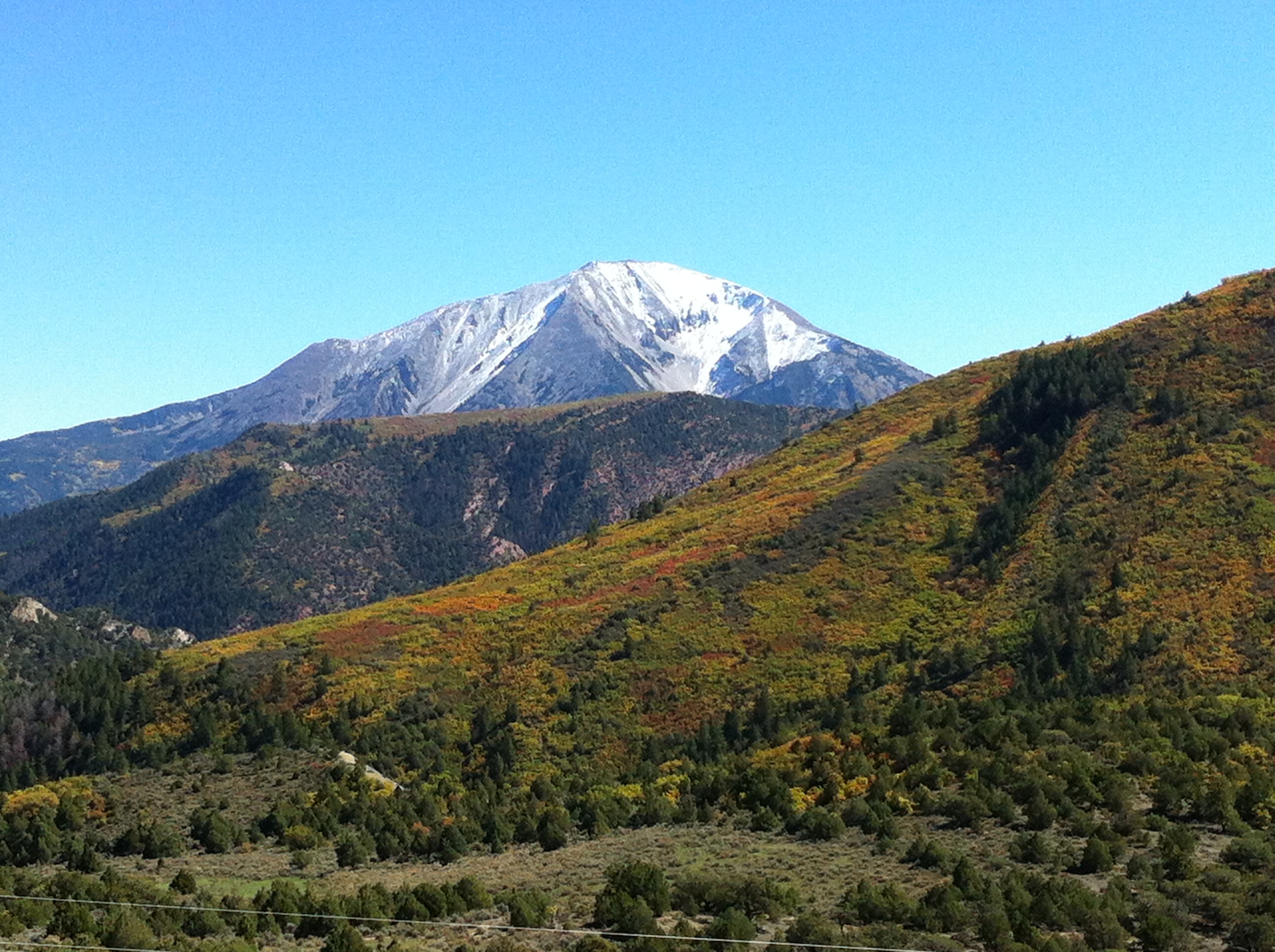
The Thompson Divide area stretches West and Southwest from Carbondale, Colorado. The area includes portions of Garfield, Gunnison, and Pitkin counties, and incorporates portions of the Thompson Creek, Fourmile Creek, Coal Creek, Garfield Creek, East Divide Creek, West Divide Creek, and Muddy Creek watersheds. Portions of the Thompson Divide area have been leased for oil and natural gas development but, to date, limited development has taken place on these leases. The primary goal of this Water Quality Study is to collect data which will provide a scientifically valid, legally defensible waterquality baseline1 . In the event that more intensive drilling and associated activities occur in this area, this data can be used to ascertain, and hold operators accountable for, any degradations that result.